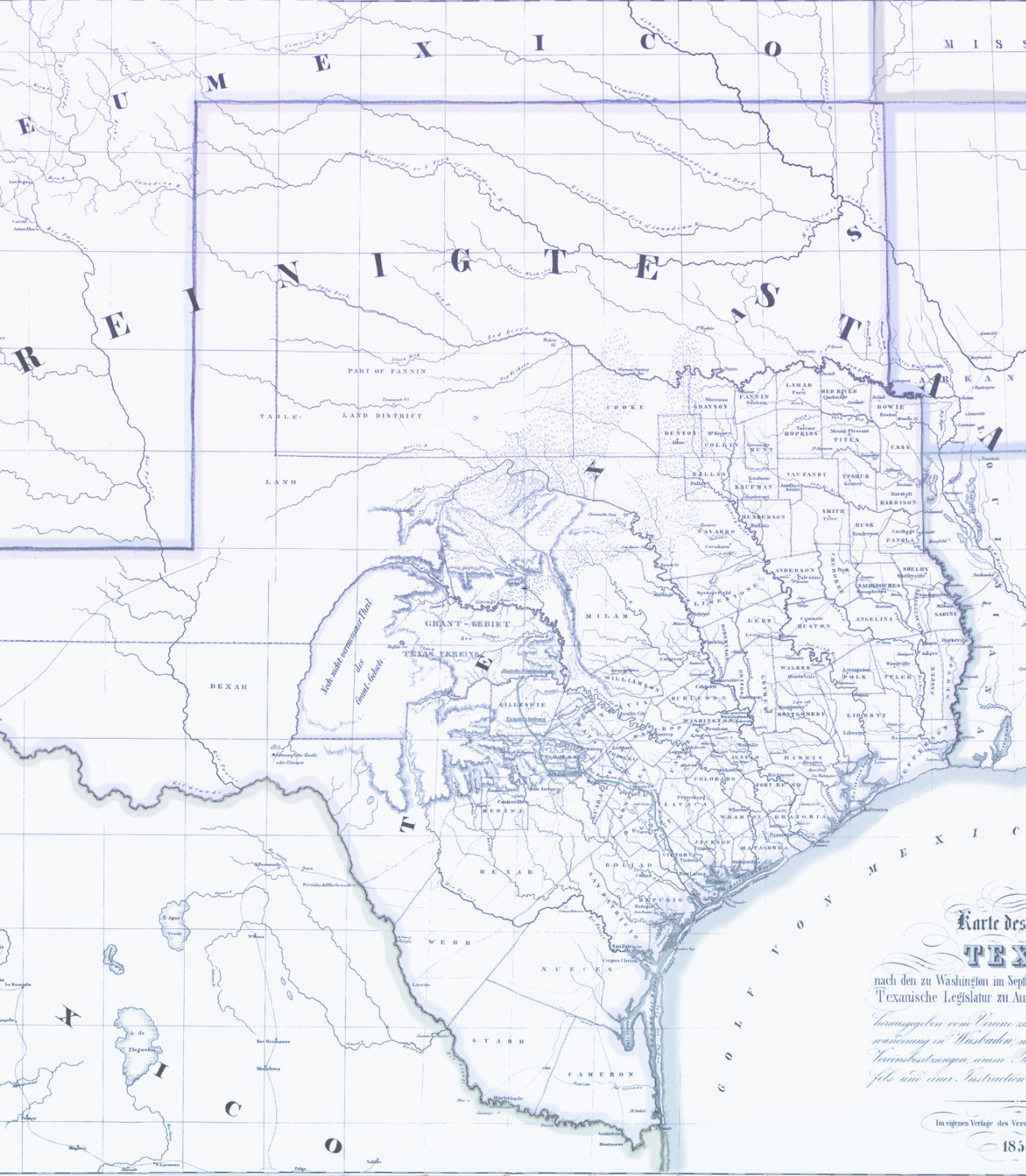
One of the necessary steps related to our professional surveying services is representing work in a useable way through plotting, printing, and scanning. Through the use of plotters and printers, SURVTEX will use raster and vector drawings to visually represent the findings of a land survey. Scanners are used in a similar, but opposite way, to create raster representations of previously produced documents.
Choose SURVTEX for Your Next Project
Here at SURVTEX, we use cutting-edge and high-end plotters, printers, and scanners to ensure that the output we share with you has best-quality presentation. Using industry-leading equipment, we make sure that your data is provided to you in crystal clear, understandable, and standard formats. SURVTEX can help get the data you need into the format you want with high quality plotting, printing, and scanning services!


